masthead-bg
Surveyor equipment. Surveyor’s telescope at construction site or Surveying for making contour plans are a graphical representation of the lay of the land before startup construction work
Image-5-scaled

Services Throughout The United States

Land Surveying Services

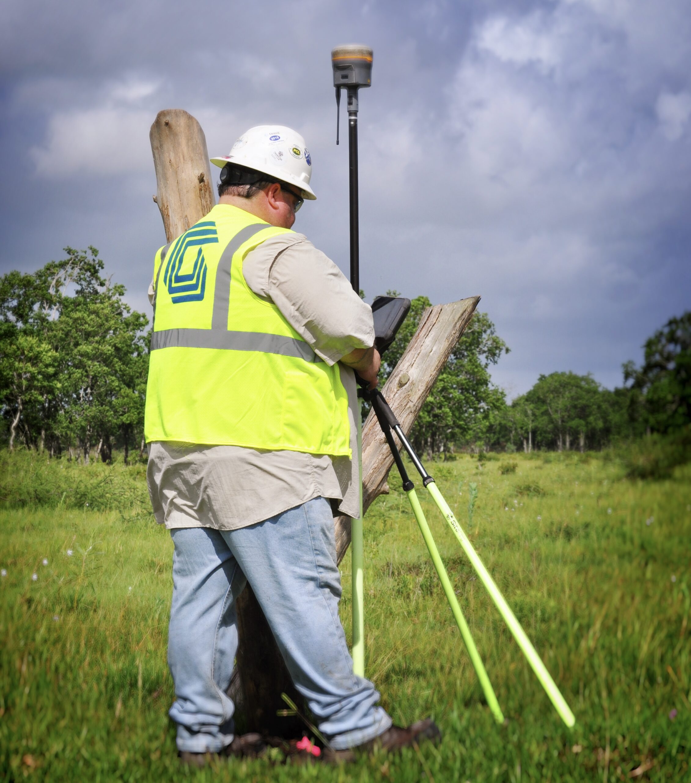
Gulf’s professional Land Surveying services covers multiple regions and, through the utilization of strategic partners, has the capabilities to provide surveying services throughout the United States. We provide multiple surveying and mapping services to a wide array of industries, including Oil & Gas, Pipeline, Renewables, Electric Transmission, and Telecom markets. Our survey teams utilize the latest technology in the field to ensure data is collected accurately and efficiently, and our office teams use the leading industry software to perform quality control and create our final deliverables. We can mobilize crews on short notice to help you complete your projects, even with a very short timeline.

TBPELS Survey Firm Registration No. 10194602

Contact Us

Accurate & Efficient

Our Survey Services

  • Professional Surveyors Licensed in Multiple States
  • ALTA/NSPS Land Title Surveys
  • Topographic Surveys
  • Preliminary, Construction & As-Built Surveys
  • High Definition Scanning (HDS) with LiDAR / 3D Modeling
  • Depth of Cover Surveys (Regulatory Mandated)
  • Line Locating (Assist with Regulatory Requirements)
  • Easement Sketches for Landowner Negotiation / Initial Offer Letters
  • Certified Easement / Right-of-Way Plats
  • Acquisition Documents & Legal Descriptions
  • Well Staking & Well Permit Drawings
  • Completion & As-drilled Well Plats
  • Pig Tracking
  • AGM Surveys
  • Dig Staking
  • Hydrographic Surveys (Bathymetric and Multibeam)
CONTACT US

We’d love to hear from you.

(713) 850-3400 CONTACT US

background-map